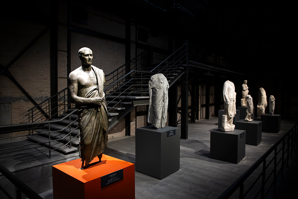
In a partnership with the City Planning & Preservation Council, SkyMesh 3D digitized an entire historic district to preserve its architecture, textures, and cultural details. The project created an interactive digital twin for public education, urban restoration, and tourism development.
“You can now walk through the past—virtually—without ever leaving your classroom or office.”
Challenge
Historic buildings are threatened by aging infrastructure, weather, and urban development. Traditional preservation methods are costly and incomplete. Our challenge was to digitally capture an entire district’s essence with precision—providing both archival value and modern interactive access.
Solution
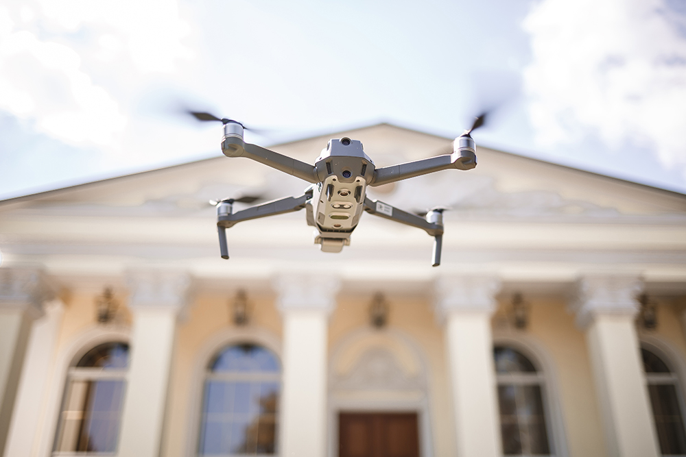
Using aerial photogrammetry and ground-based LIDAR, we captured structures, streets, and even signage in high-resolution. The data was processed in RealityCapture and refined in Blender and ZBrush. Final assets were optimized for AR apps, VR walk-throughs, and integration with historical databases.
Results
The 3D district model became the centerpiece of a new educational initiative in local schools and was used in a VR tourism experience for the city's visitor center. Restoration teams now use the scans to guide renovation planning with unmatched accuracy.


Tools Used
Hardware: DJI Mavic 3, FARO Focus, DSLR ground rig
Software: RealityCapture, Blender, ZBrush, Unity, CesiumJS
These case studies are conceptual and based on realistic, technically feasible scenarios intended to demonstrate our future capabilities. They serve as vision pieces while we fundraise and build toward full implementation.