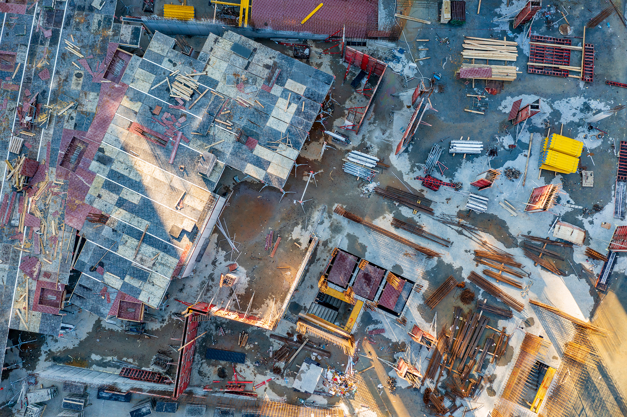
With aging infrastructure across the U.S., routine inspections of bridges, overpasses, and critical structures are more important than ever. Photogrammetry—when paired with drone technology—is redefining how we assess, monitor, and maintain these vital assets.
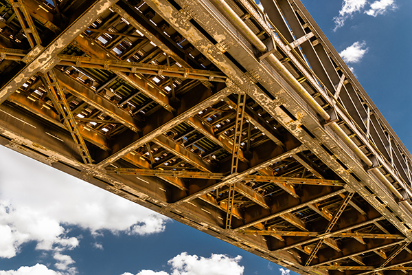
“We captured a full 3D model of a 1,200-foot bridge in less than two hours—without closing lanes or putting a single crew member in harm’s way.”
1. Access to Hard-to-Reach Areas
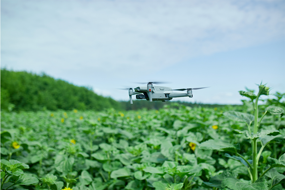
Traditional bridge inspections often require scaffolding, lifts, or lane closures. Using drones equipped with high-resolution cameras, photogrammetry provides a safe, cost-effective way to access even the most difficult structural areas—without disrupting traffic.
2. Detailed 3D Modeling for Damage Analysis
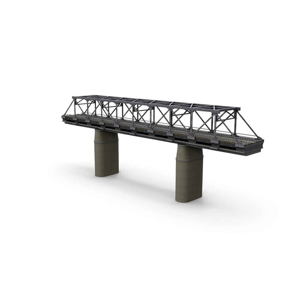
By stitching together thousands of overlapping images, photogrammetry generates centimeter-accurate 3D models. Engineers can inspect concrete spalling, rusted components, cracks, and joint integrity virtually—zooming in from any angle for precise evaluations.
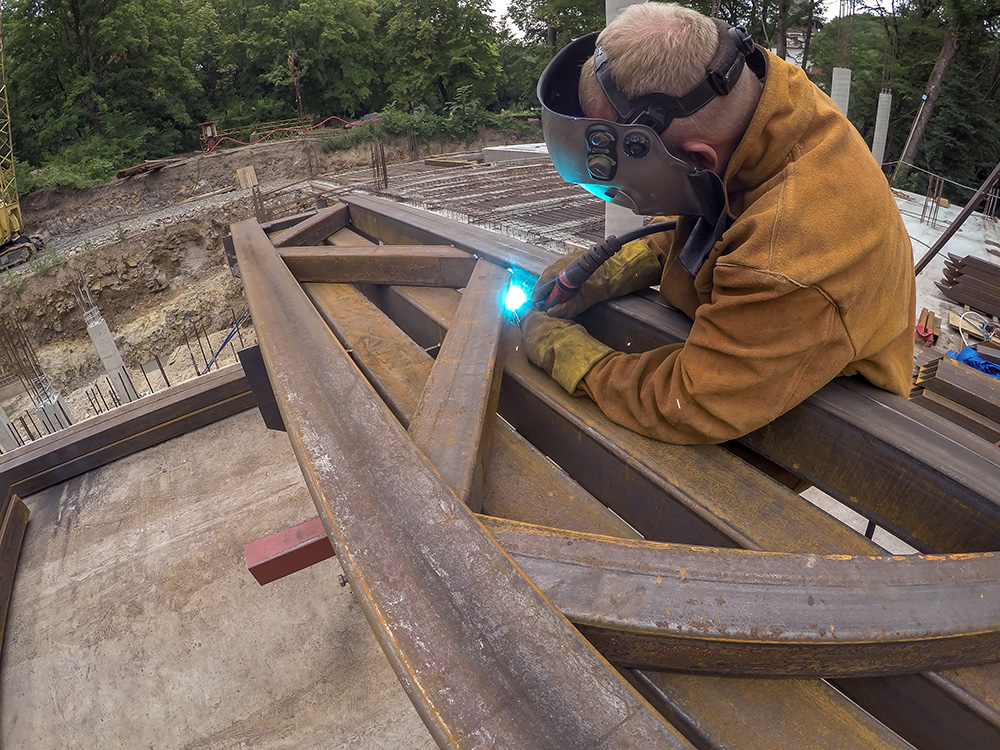
3. Enhanced Safety and Reduced Risk
Inspections often place workers in risky positions—over water, traffic, or unstable ground. Drone-based photogrammetry removes those hazards by collecting data remotely, all while meeting DOT inspection standards.
4. Repeatable and Time-Stamped Surveys
By flying the same mission path over time, photogrammetry allows for apples-to-apples comparisons of aging infrastructure. This is essential for asset management, long-term monitoring, and maintenance forecasting.
5. Integration with BIM and CAD Workflows
Photogrammetric models can be exported to BIM, CAD, or GIS platforms for integration into engineering workflows. This enables digital twins of infrastructure—perfect for simulations, planning retrofits, or coordinating multi-agency repairs.
Tools We Use
Hardware: DJI Matrice 300 RTK, Mavic 3 Enterprise, Zenmuse P1 Camera, GNSS Ground Control
Software: Pix4Dmapper, Agisoft Metashape, Bentley ContextCapture, Autodesk ReCap
At SkyMesh 3D, we believe smart infrastructure management starts with smart data. Through drone photogrammetry, we empower engineers and agencies with the precision tools needed to keep bridges safe and resilient—now and into the future.